Flood Warning - Lake Shoreline Notice - April 13, 2026
Flood Warning - Lake Shoreline Notice
Date: April 13, 202
Time: 3:25pm
Message sent on the basis of information received from:
Based on updated information from Environment and Climate Change Canada and the Ministry of Natural Resources - Surface Water Monitoring Centre, Kawartha Conservation is upgrading from a Flood Watch – Lake Shoreline Notice to a Flood Warning - Lake Shoreline Notice on Monday April 13, 2026, through to Tuesday April 21, 2026. This Flood Warning applies to the shoreline areas of the following waterbodies:
- Balsam Lake
- Cameron Lake
- Sturgeon Lake
- Pigeon Lake
- Lake Scugog
- Crystal Lake
The most recent forecasts indicate the potential for significant rainfall throughout the week and into the weekend, while daytime air temperatures continue to remain well above seasonal normals during this time. The Kawartha Conservation Watershed continues to experience elevated water levels in the Kawartha Lakes as a result of continued inflows from the Gull River and Burnt River due to ongoing management of reservoirs in the Haliburton Watershed.
Water levels and flows within Balsam Lake and Cameron Lake are expected to rise to their maximum capacity during this statement period. Lake Scugog remains at its maximum capacity and Parks Canada is actively managing these conditions through the Lindsay Dam.
Sturgeon Lake, Pigeon Lake, and Crystal Lake are also expected to see a rise in water levels and flows as Parks Canada water continues to move through the Trent Severn Waterway system.
Shoreline flooding is anticipated due to these rapidly changing conditions, and localized flooding is anticipated in low-lying, poorly drained areas along the shorelines of these lakes. Water levels across the watershed are expected to remain elevated during this time.
Residents are strongly advised to exercise caution around all watercourses during this time. Parents and pet owners are reminded to keep children and pets away from fast moving water and unstable banks. Recreational users should avoid waterways until conditions further stabilize.
Kawartha Conservation continues to closely monitor weather forecasts, water levels, and flows across the watershed. We remain in communication with partner agencies including the Trent-Severn Waterway, Ministry of Natural Resources - Surface Water Monitoring Centre, and neighboring Conservation Authorities.
Municipalities are advised to monitor known flood areas and be prepared to respond to high water situations as they occur. Residents are advised to contact their municipalities should a flood threat develop. Local municipalities are first to respond to and assist with flood emergencies.
Northern tributaries, such as the Burnt River and Gull River, are monitored by Ministry of Natural Resources staff. Residents with questions regarding water levels along these rivers are encouraged to contact the Minden Area Office at 705-286-1521 or refer to current flood messages issued by the Ministry of Natural Resources.
Watershed residents, local municipalities, and partner agencies will continue to receive updates through the Kawartha Conservation website, media outlets, and social media channels. Residents may also subscribe to receive flood messages directly.
If you are aware of or have concerns about flooding, please contact Kawartha Conservation at 705.328.2271 or 705.344.0155 after hours.
This Flood Warning – Shoreline Notice will remain in effect until noon on Tuesday, April 21, 2026, and will be updated as conditions warrant.
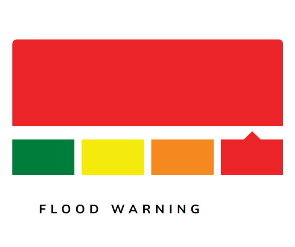
Flood Warnings advise that flooding is imminent or already occurring. A Flood Warning may be issued for specific waterbodies or municipalities.
Contact Us
Kawartha Lakes
P.O. Box 9000, 26 Francis Street
Lindsay, ON, K9V 5R8
Telephone: 705-324-9411
Toll free at 1-888-822-2225
After-hours emergencies: 1-877-885-7337


