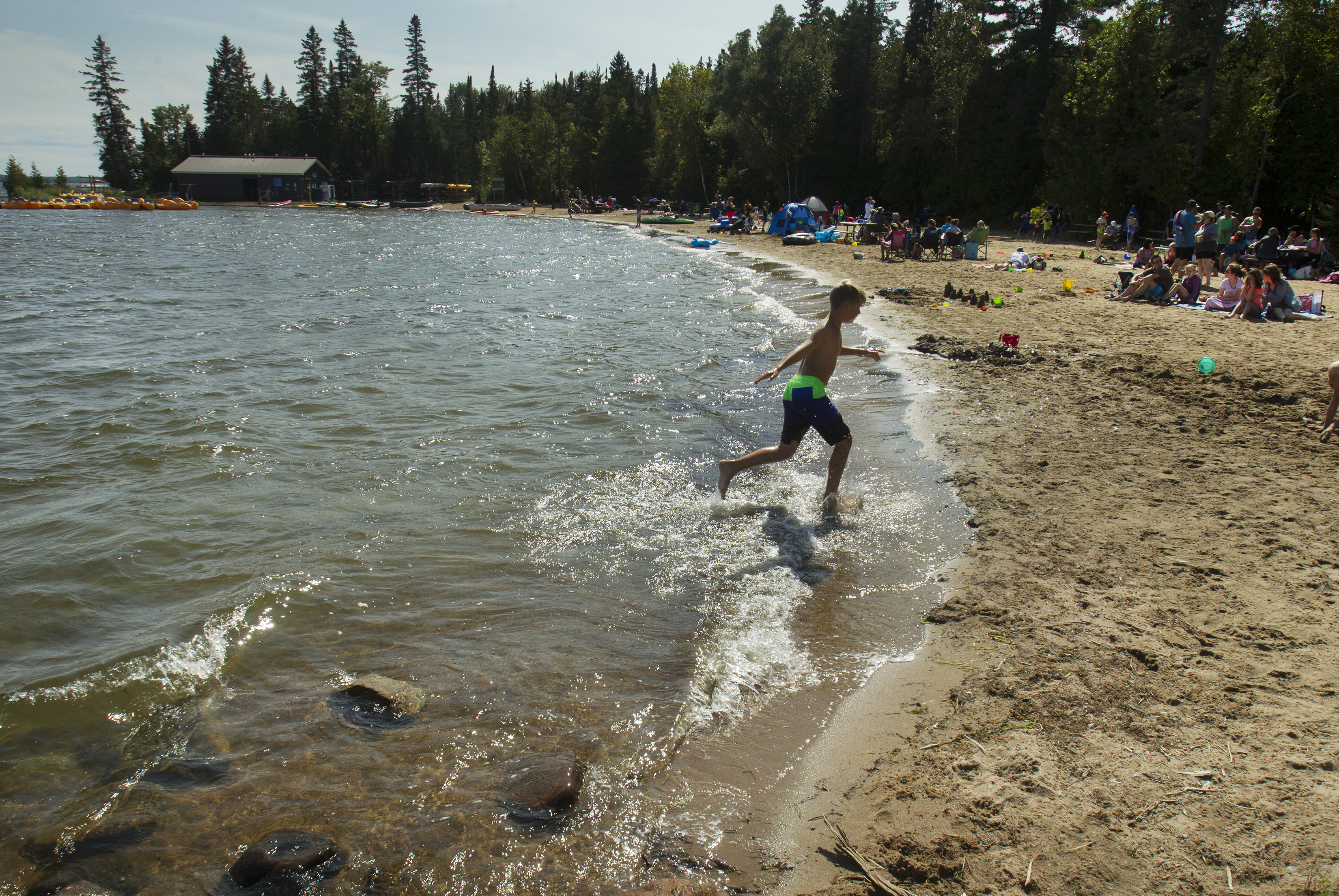
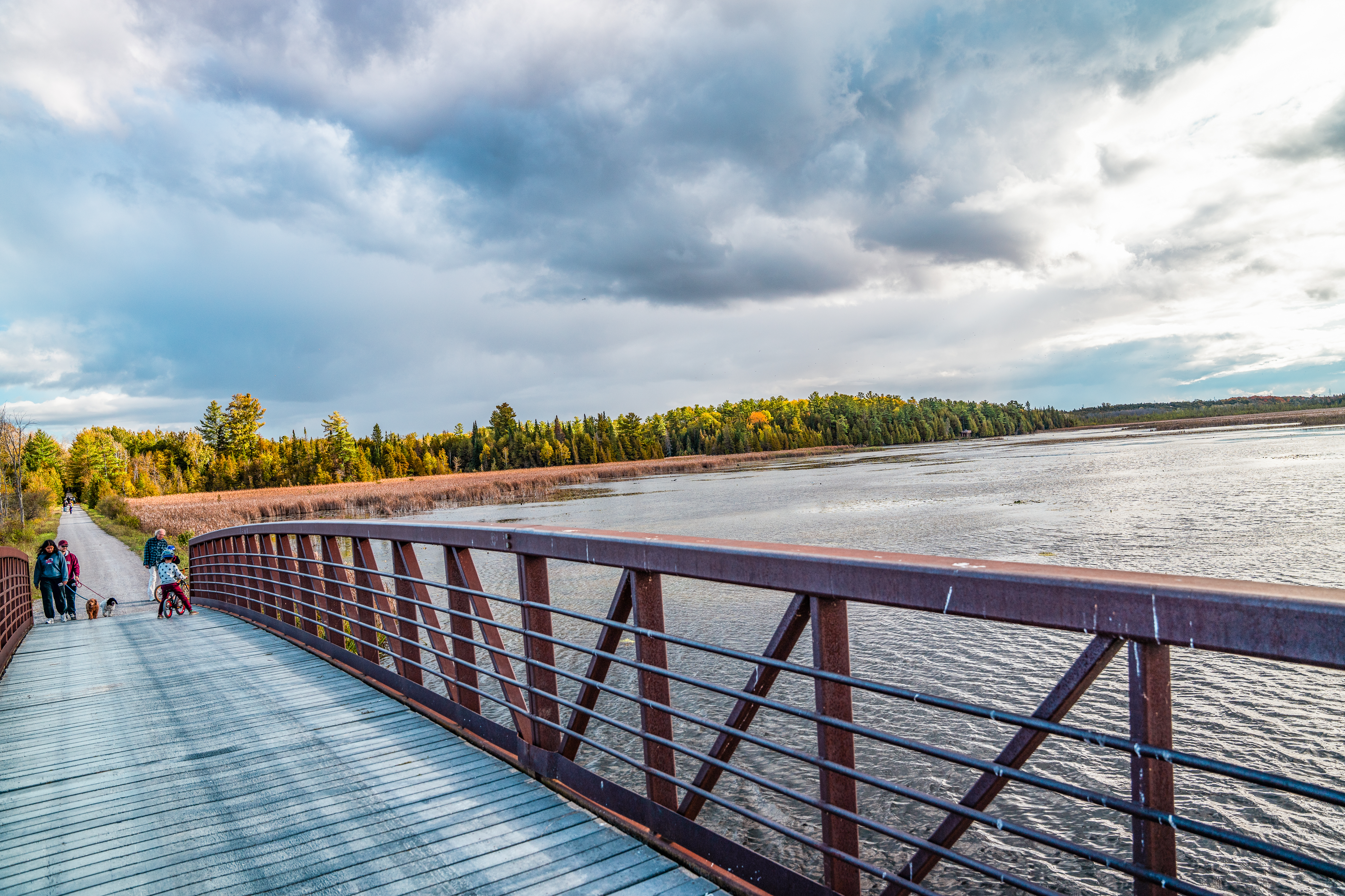
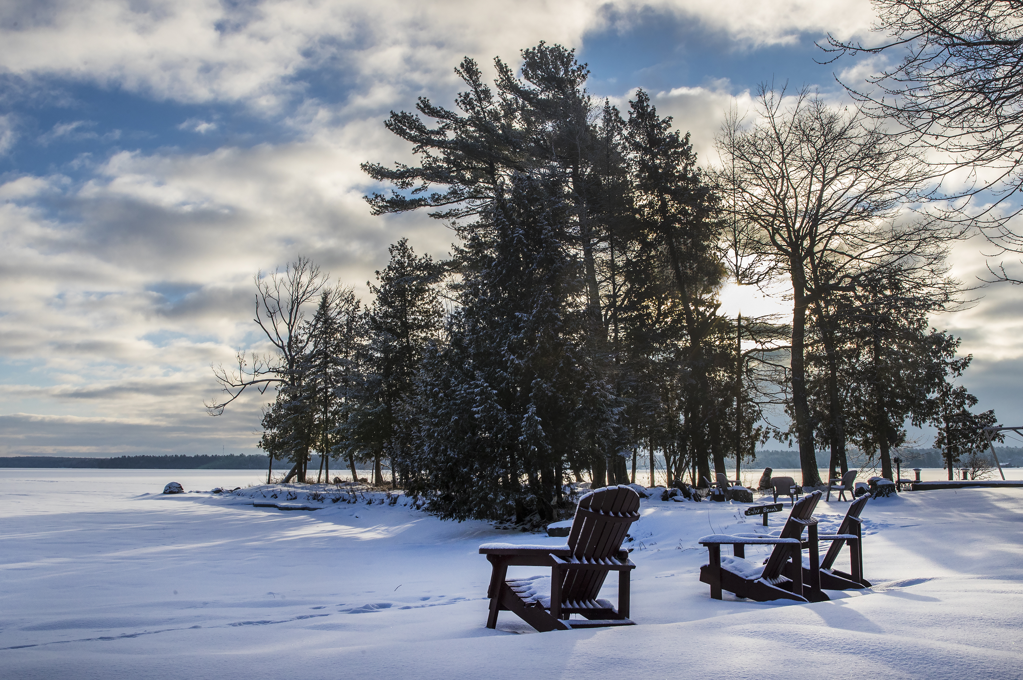
Waterfront
Discover the natural beauty that defines our community. With more than 250 lakes and countless rivers, streams, and beaches, Kawartha Lakes offers endless ways to get outside and enjoy the water. Whether you're here to swim, paddle, fish, or just relax by the shore, there's something for everyone to explore.


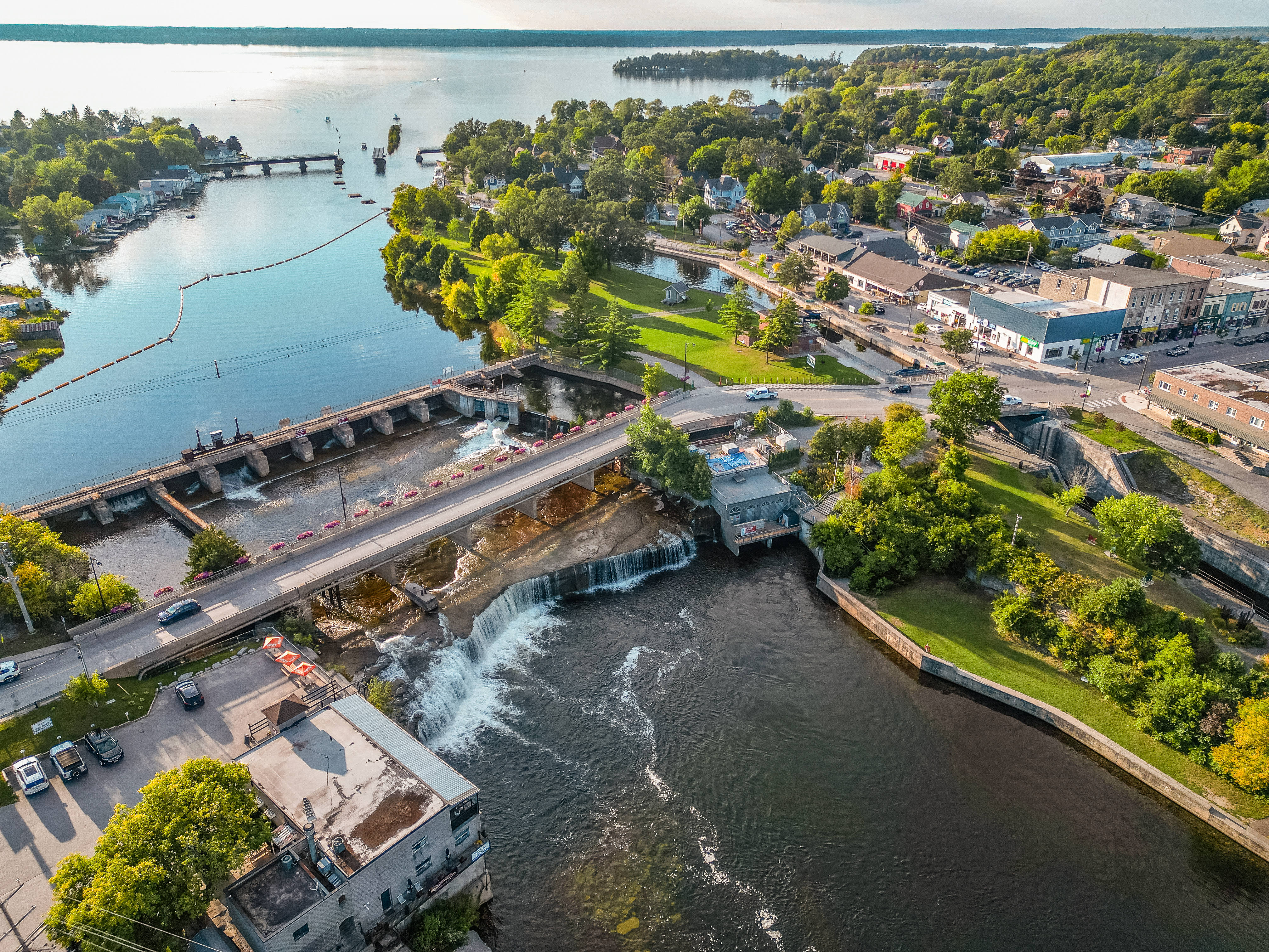
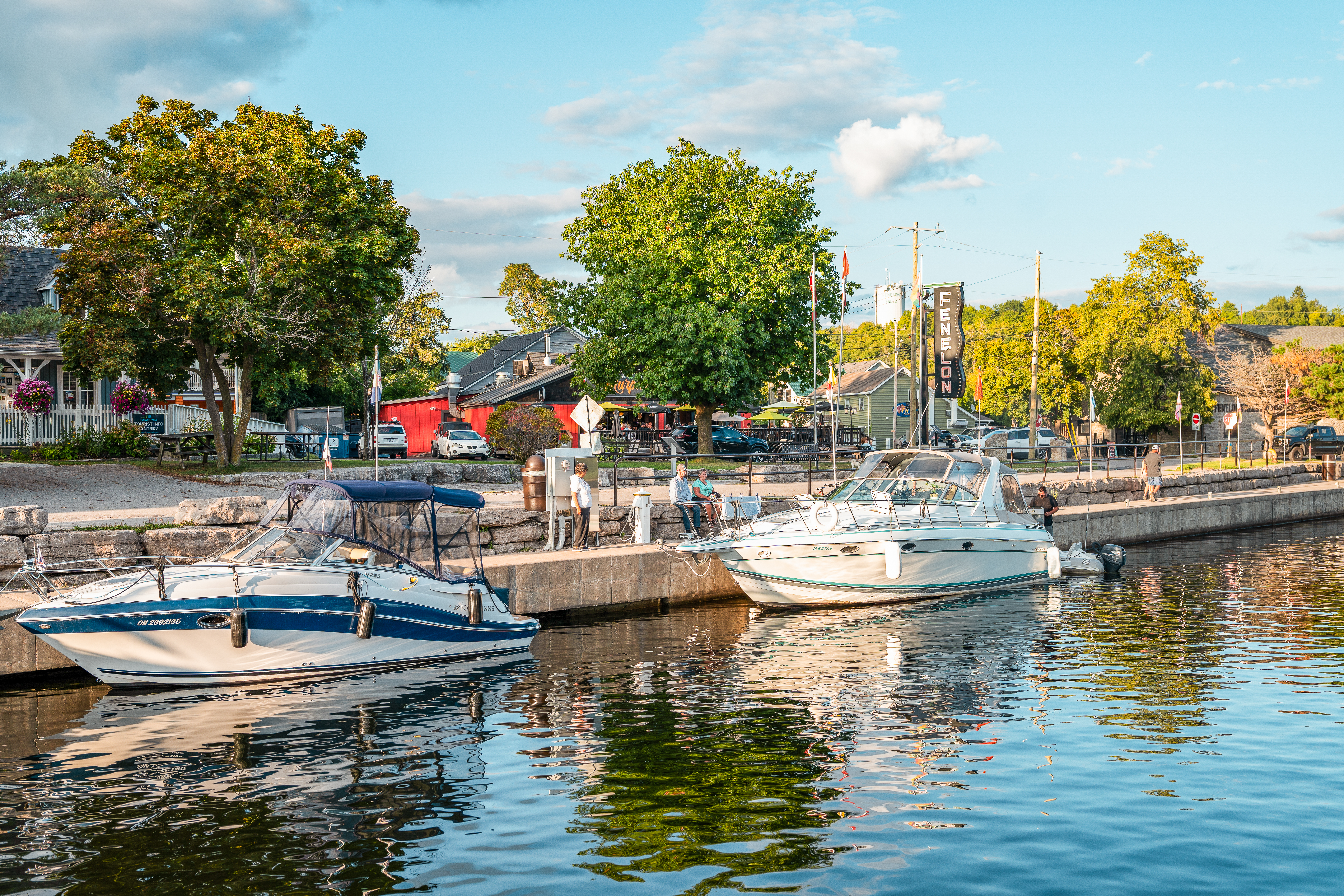
The Incredible Trent Severn Waterway
Travel one of Canada’s most scenic historic routes—right through Kawartha Lakes. With five lock stations, stunning views, and full boater services, the Trent-Severn Waterway is a must-see for residents and visitors alike.
Nothing More Beautiful
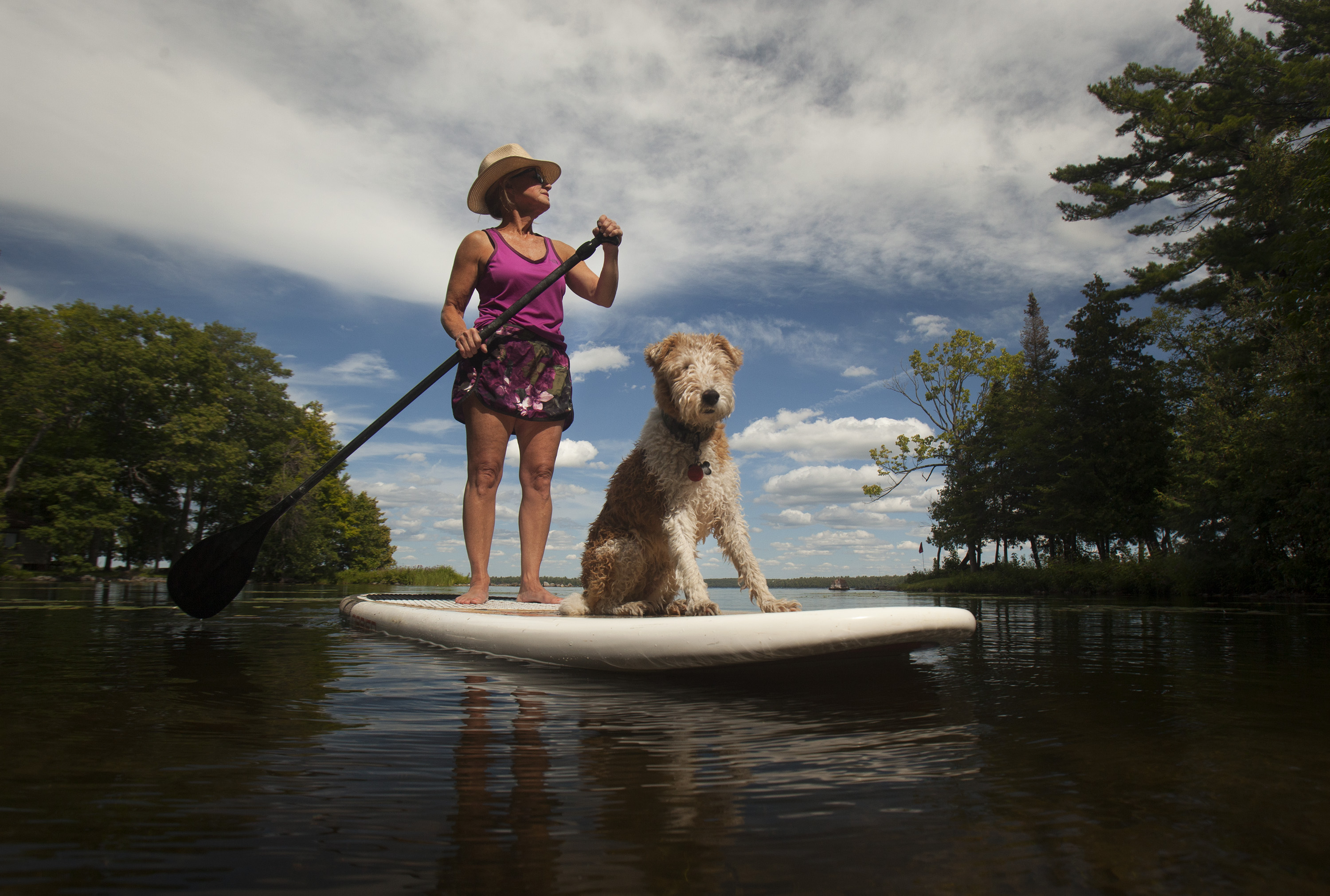
Manage Your Watercraft
Looking to launch your board or for a local dock? Check out our municipal docks and boat launches through the City of Kawartha Lakes.
Contact Parks and Recreation
P: 705-324-9411 Ext. 1301
recreation@kawarthalakes.ca


